
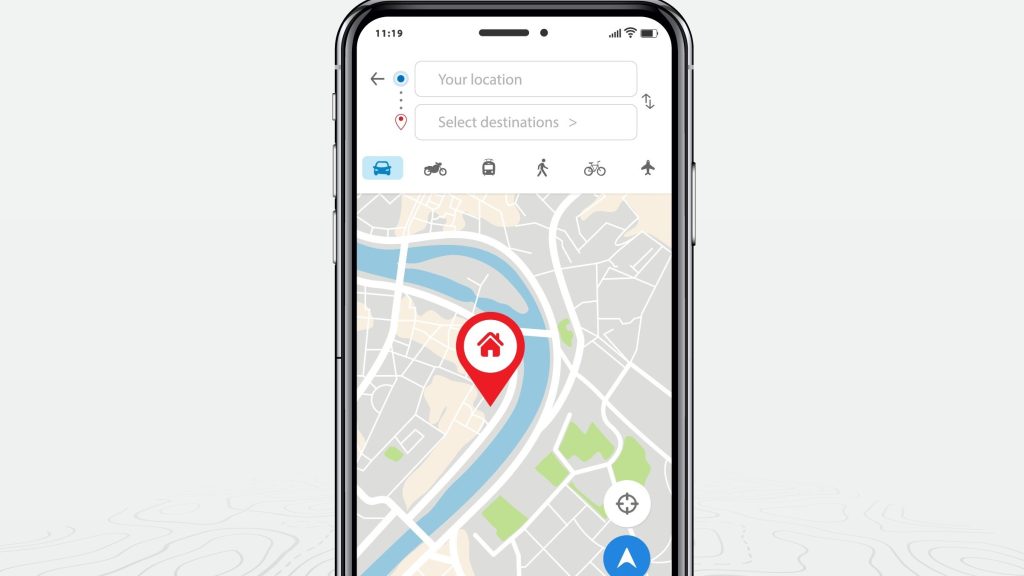
Google Maps will reportedly tap into satellite connectivity for instances when you cannot connect to Wi-Fi nor a cellular network.
How do we know? According to PiunikaWeb, new code references in Google Maps beta v11.125 indicate the app can determine users’ location via satellite connectivity.
Google Maps’ satellite connectivity could be ‘life saving’
PiunikaWeb reported that the new strings hint that users will have the option to update their location in Google Maps every 15 minutes, up to five times a day, via satellite connectivity. This could be a life-saving feature if you’re in an out-of-range area without a network.
Keep in mind, however, that this feature will only work on devices with satellite connectivity. There is scuttlebutt that the Google Pixel 9 series will have the feature, which can also be found on the iPhone 14 and iPhone 15 models.
We’re also seeing rumors that Android 15 will support satellite-enabled texting. As we reported in early April, this feature may offer a big leg up over iPhone. According to 9to5Google, with Android 15, you’ll be able to text anyone with satellite-based texting, not just emergency services.
With chatter about satellite-based texting and navigation, it looks like Google may be diving in head first with satellite connectivity. The Mountain View-based tech giant is set to host its next big event, Google I/O, on May 14. Perhaps we’ll get a sneak peek of Google’s plans then.